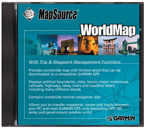
Garmin MapSource WorldMap (CD-ROM)
If you’re heading for remote parts of the world, WorldMap has you covered. WorldMap provides basic worldwide maps for your Garmin device, including areas where no other detailed maps are available. These general maps display political boundaries, coastlines, cities and towns, major interstates and highways, lakes and rivers, and urban areas and railroads. WorldMap also
If you’re heading for remote parts of the world, WorldMap has you covered. WorldMap provides basic worldwide maps for your Garmin device, including areas where no other detailed maps are available. These general maps display political boundaries, coastlines, cities and towns, major interstates and highways, lakes and rivers, and urban areas and railroads. WorldMap also includes U.S. Interstate exit information, including fuel and service stations, restaurants, hotels, campsites, hospitals, and banks. WorldMap is most useful for those parts of the world where no other detailed Garmin maps are available.Garmin’s WorldMap MapSource CD-ROM provides worldwide coverage with base map-level detail, including political boundaries, cities, towns, major motorways and/or interstates, and principal highways; lakes, major streams, and rivers; and urban areas and railroads. WorldMap displays excellent coastline detail that includes many offshore islands, as well as worldwide nautical navigation aids such as day beacons, radio beacons, RACONs, fog signals, lights, and buoys. Also shown are U.S. interstate exit information, such as service stations, gas stations, restaurants, hotels, campsites, hospitals, banks, and more. WorldMap includes management functions that allow you to transfer waypoints, routes, and tracks between your PC and nearly all Garmin GPS units (excluding the GPS100 family and panel mount aviation units) while viewing base map-level maps on your PC screen.
It is recommended for use with the GPS III Plus, NavTalk, GPS 12MAP, and GPSMAP 162/168. It is compatible with StreetPilot GPS, StreetPilot ColorMap, GPSMAP 295, and eMap, which require a blank 8 or 16 MB cartridge for loading map data.

Comments